Saving the world’s mangroves
A new mapping dataset developed by researchers at Aberystwyth University is helping to protect and support the regeneration of global mangrove forests.
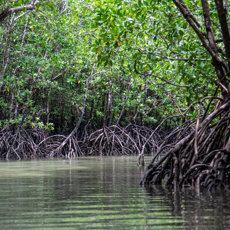
Mangroves are the only species of tree that can survive in saltwater. They grow along tropical and subtropical coastlines, where they are a crucial ecosystem.
Mangrove forests:
- protect against flooding and storms
- prevent soil erosion
- absorb and store carbon
- provide habitat for many species
- support fisheries
- attract tourism
- provide wood
However, mangroves worldwide are under threat from coastal development, pollution, and industries such as logging, shrimp farming and palm oil plantations.
To protect mangroves and support their regeneration, we need to know exactly where and when they are being lost.
Mapping global mangrove forests
The Earth Observation and Ecosystem Dynamics (EOED) research group at Aberystwyth University developed a way to map global mangrove forests and record changes. They produced a new global baseline of mangrove extent and created software to supply the Global Mangrove Watch (GMW) datasets, which:
- provide standardised global mapping of mangrove extent and change over several periods
- provide near-real-time mangrove loss alerts for local forests
The team also worked with Wetlands International in Tanzania and Senegal, running training on how to use the GMW datasets. The team showed local staff how to use mobile apps and small drones so they can monitor and record changes in mangrove ecosystems.
GMW provides global maps of mangrove extent and identifies changes significant to local communities. Maps for the mid-1990s, 2007-2010 and 2015-2016 have been produced, along with monthly mangrove loss alerts for the African continent. Countries with limited capacity to process satellite sensor data would not otherwise have access to this information.
The UN Environment Programme (UNEP) uses GMW data to track progress towards Sustainable Development Goal (SDG) 6.6.1, which aims to halt the degradation and destruction of water-related ecosystems and aid the recovery of those already degraded. They now have an SDG661 app, which uses GMW data to give countries clear and accurate data on mangrove ecosystems.
Governments and non-governmental organisations use GMW data to:
- monitor mangrove extent
- identify and understand what causes mangrove loss
- assess and improve ecosystems services
- inform mangrove restoration and protection
- increase conservation in marine protected areas
- sustainably manage forests and fisheries
- influence decision making
- inform public policy
- access funding
GMW data shows that annual rates of mangrove forest loss fell from -0.23% between 1996 and 2010 to -0.09% between 2010 and 2016.
The team at Aberystwyth University have received funding to continue their research. They are using this funding to expand the geographic coverage of the monthly mangrove loss alerts, while making the system more sensitive, identifying more losses in mangrove ecosystems, making the mapping products more detailed and generating annual maps for other years.
Research team
Dr Pete Bunting and Professor Richard Lucas - Aberystwyth University’s Earth Observation and Ecosystem Dynamics (EOED) Research Group.